Climate Change, Sea Level Rise & Barrier Island Retreat
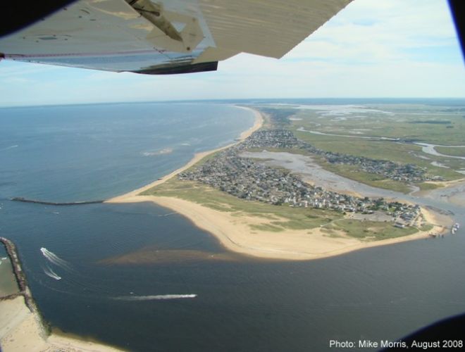
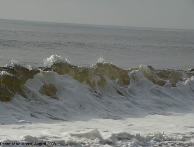
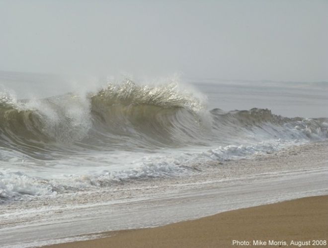
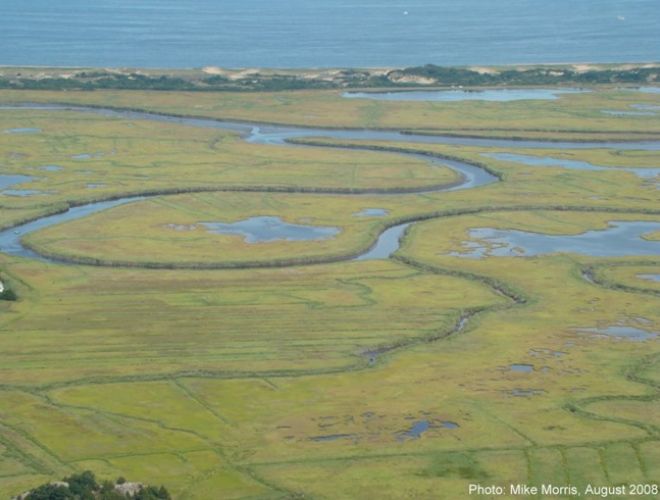
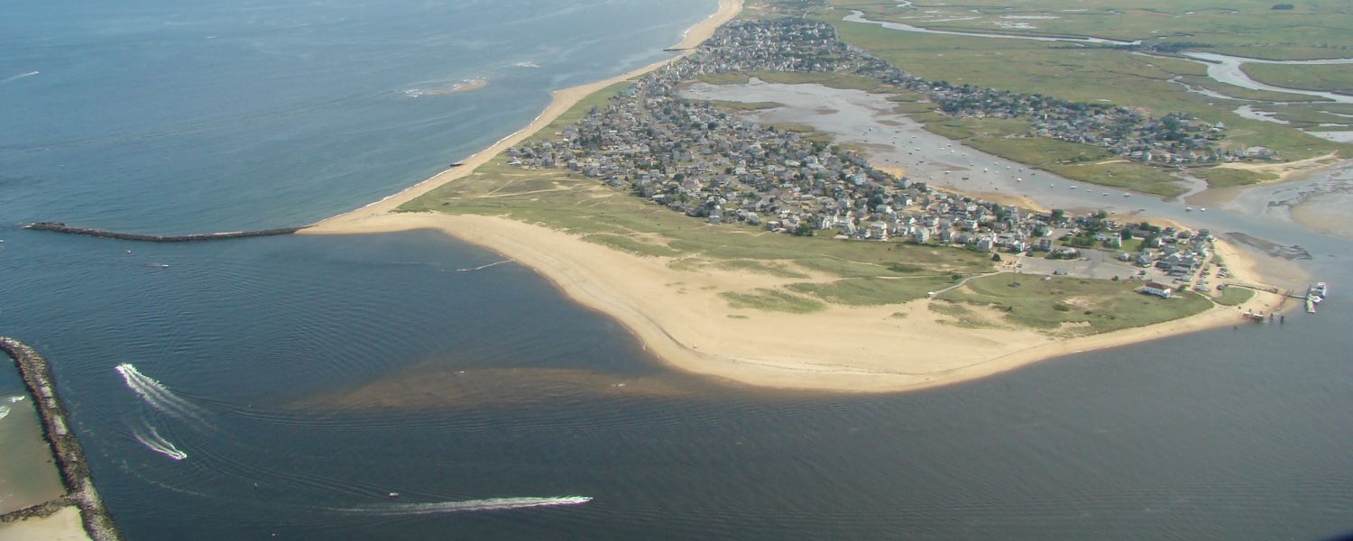
Long ago, the Plum Island & Salisbury Beach Barrier Islands formed transgressively in response to a slowly warming planet that prompted a gradual rise in sea level. Wave action plowed glacial deposits landward, shallowing the sea. Once sands were washed above sea level by varying wave energies, winds took over & built dunes. Since the process was gradual, plants were able to take root, building the Islands vertically, as they captured the wind driven sands driven ashore by ocean waves. Overtime the sea continued to rise, storms helped to erode the foreshore & dunes, sometimes even creating new inlets. Waves would eventually top the dunes in low spots, pushing sands to the island’s rear. As the foreshore was encroached upon by the sea, plant growth would retreat & eventually establish itself in these over wash sands. As a result, the island would in effect slowly “transgress” or retreat toward the mainland, migrating over the salt water marsh in the process.
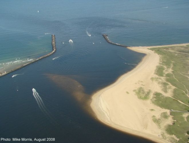
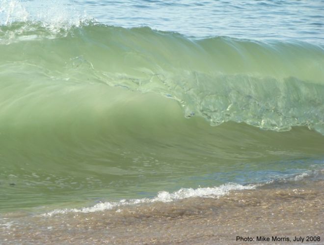
Because all of this happened slowly over thousands of years, the marsh located behind the barriers, had the opportunity to also retreat as waters rose & the islands encroached upon them. Offshore of Salisbury beach for example, it is possible to see the peat & clay of an ancient marsh rising from the sea floor, as the barrier’s sands continue to migrate westward. If you walk the beach following large wave events, you might find parts of this peat broken up & washed ashore there.
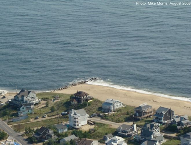
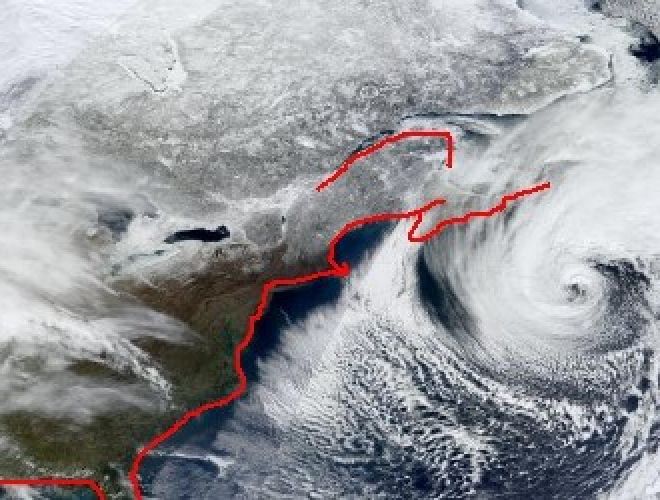
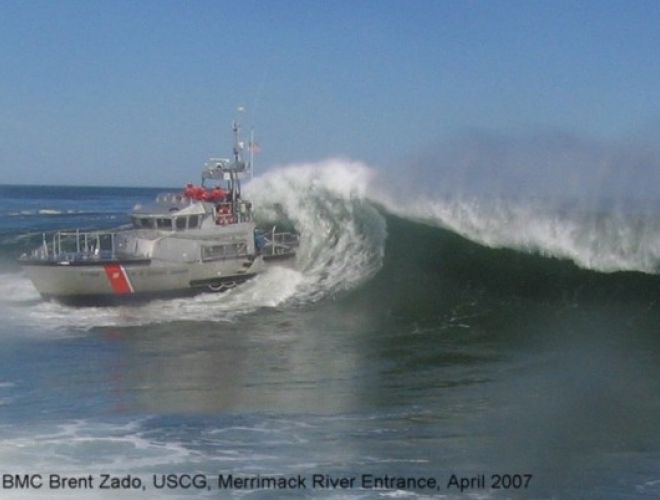
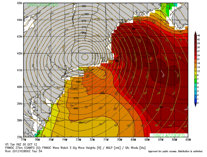
Today, due to Human Induced Climate Change, storms are more frequent & intense, and sea level is rising faster than it ever has in the world’s Geologic past. Scientists are uncertain about how fast sea level will rise, & how quickly barrier Islands & their backwater marshes will, or can respond. If barrier island retreat happens too quickly, the marshes may not be able to keep pace with the rising waters & the advancing sand mass. This will have far reaching ecological impacts, one of which will severely impact local fisheries. For developed Barrier Islands, recent history reveals that the combination of climate induced sea level rise coupled with climate enhanced storm activity, will have devastating results when barrier over wash & new inlet formation occurs. In fact, long before the water gets uncomfortably high in the calm bays & estuaries, or begins to seep up the streets along the backside of Plum Island, climate enhanced storm activity & frequency will begin to dramatically alter the shore. A hotter ocean contains more heat energy & a warmer climate will allow the atmosphere to absorb more moisture. When the meteorological variables align (as they did with Super Storm Sandy & the February 2013 Blizzard) the ingredients will combine to produce incredibly intense storms. Climate change & Sea Level Rise will have far reaching implications for Humanity & our Planet. Implications, we are just beginning to understand. As the climate warms & sea levels rise, we are literally entering uncharted waters.
For more on this topic and its implications read John Englander’s:
High Tide on Main Street: Rising Sea Level and the Coming Coastal Crisis
By John Englander; Foreword by Jean-Michel Cousteau
(Publisher: The Science Bookshelf; ISBN 978-0615637952
Insert Power Point: Climate Change, Sea Level Rise & Barrier Island Retreat