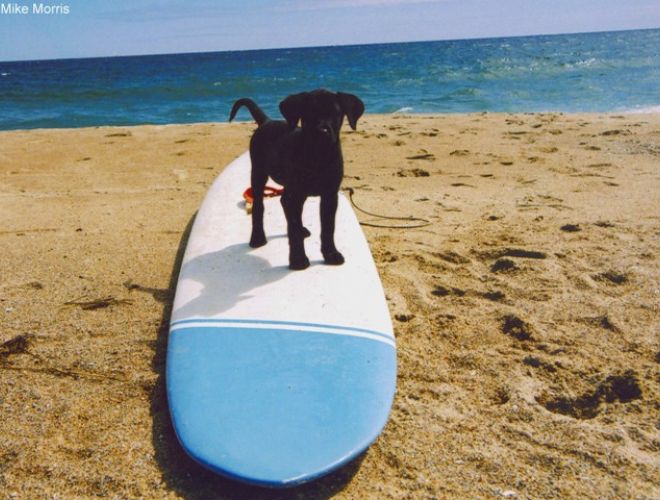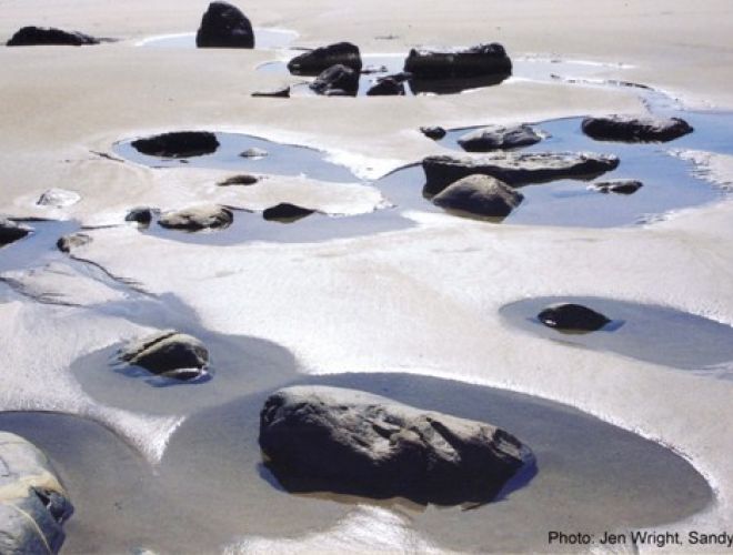
Beach Groins
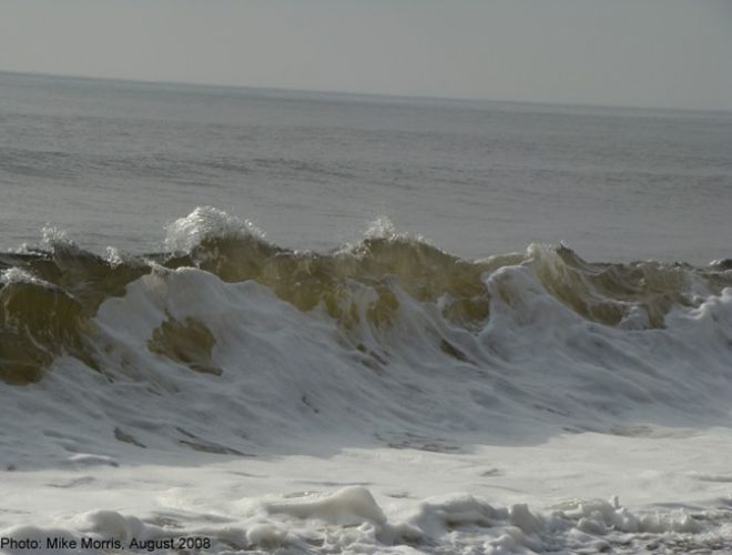
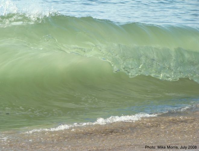
As waves wash along a beach they naturally move sand along the shore. The direction that sand moves is dependent on the angle at which waves approach the beach. Beach groins are structures, oftentimes made of stone, placed perpendicular to the shore to act as dams, restricting the movement of migrating sand. Watch this short animation to see how waves move sand along a shore…
http://oceanica.cofc.edu/an%20educator'sl%20guide%20to%20folly%20beach/guide/driftanimation.htm
or Power Pont of “Long Shore Drift Animation”
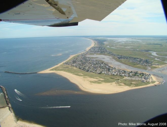
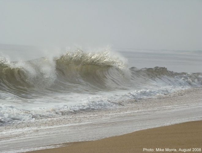
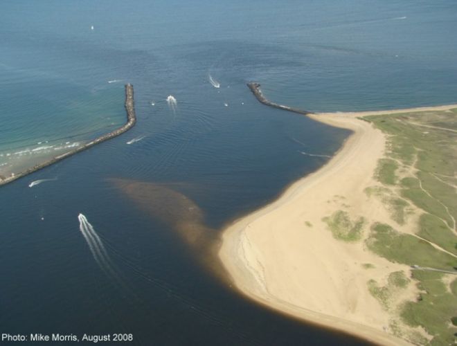
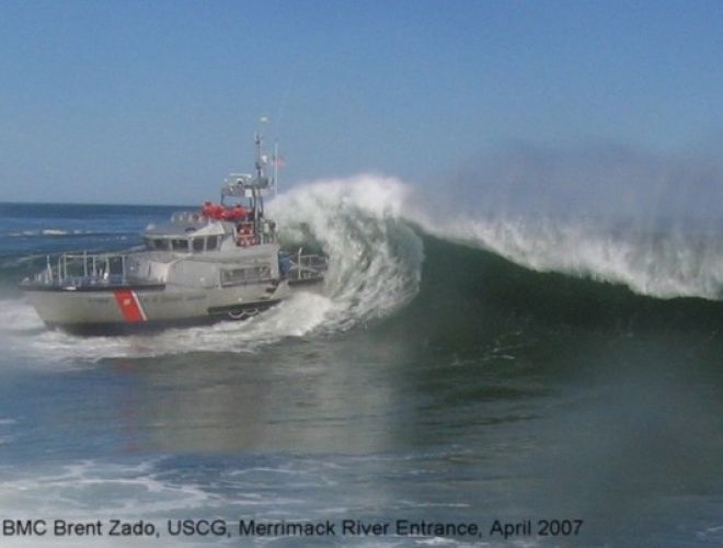
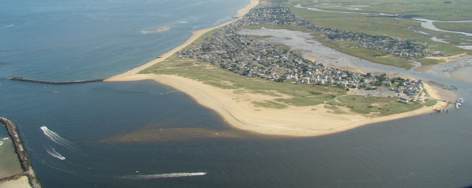
Given prevailing wave origins, sand migration along a shore is typically in one direction. While Periodic reversals do take place, they are short lived. The Beach on Plum Island faces just slightly Northeast. Wave approach is primarily from the E & SE. This drives sand north from roughly the middle of the Wild Life Refuge to the river jetty. In contrast, offshore near the River Mouth, the southern half of the Merrimack River delta bar faces Southeast. With the same angle of wave approach, this simple change in orientation of the delta bar, promotes a southerly sand migration offshore. So, offshore the sand moves south & on the beach it travels north. One can envision a circulation here. You can view the journey that Plum Island Sand makes below:
Insert Power Point Slide “Plum Island Sand Journey”
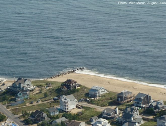
So how do groins affect sand migration on the shore at Plum Island? When the shore is wide, these groins are covered with sand & have no effect on the shore profile. However, when the shore narrows & the groins become exposed, they gather sand on one side, while promoting erosion on the other. If you own a home on the north side of a groin at Plum Island, you are at risk.
Insert Power Point “How a Beach Groin Works”