PlumIslandErosion.com
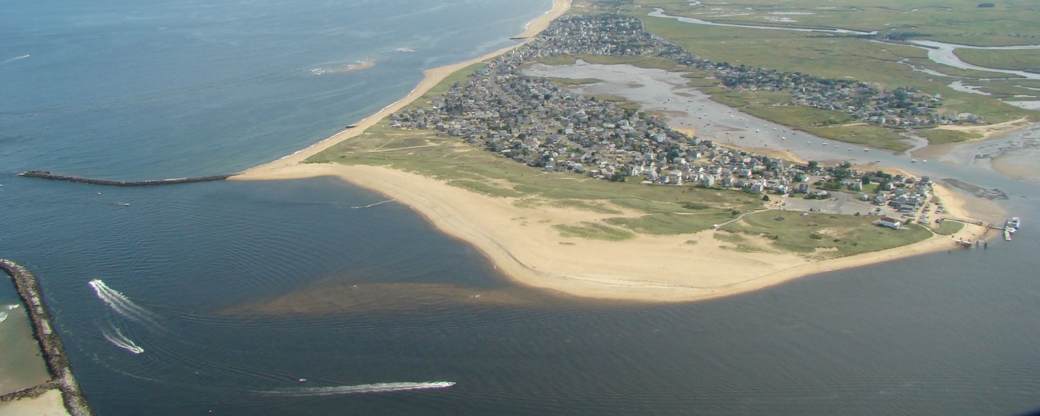
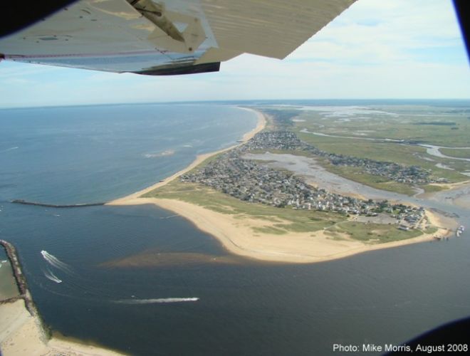
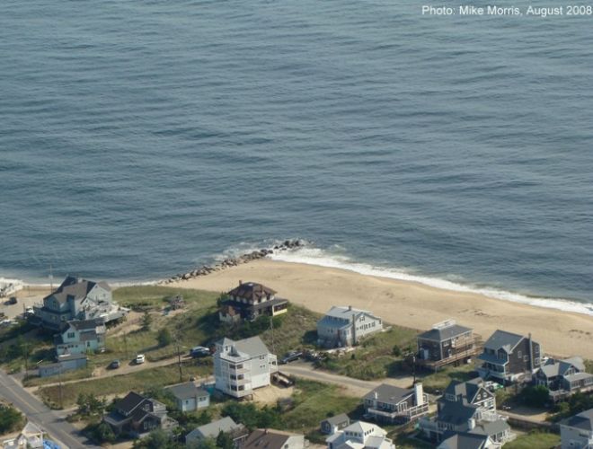
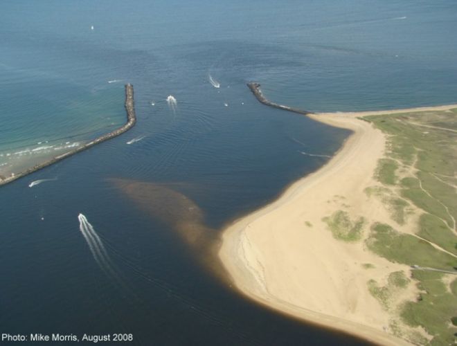
Plum Island is an 8 mile long, narrow, sandy Barrier Island off the northern coast of Massachusetts. The Island is divided among 4 townships: Newburyport, Newbury, Rowley and Ipswich. While the southern two thirds of the island have been set aside for the Parker River National Wildlife Refuge, the Northern third which borders the Merrimack River is densely populated and developed. It is this area that is currently, and has historically been, subject to episodes of beach erosion.
In our efforts to stabilize a river entrance and occupy a migrating & fragile dune system, we have fought natures processes with little understanding and respect of them. Consequently we’ve disrupted sand migration & are the cause of the erosion we are fighting. Today we have a clearer understanding of the processes at work on our shore. If we choose to work with them, we can solve this problem, or continue our 100 year fight against them.
Review the information on this site. Understand what nature is doing, and decide whether we are actually solving the problem of erosion at Plum Island.
Include Following Link Buttons on Home Page:
•About the Author
•The Problem, “In a Nut Shell”- 5 Major Causes of Beach Erosion
oThe river Jetty System & an Offshore Sand Supply
oShoreward Migrating Sandbars
oBeach Groins
oOur Barrier Dune System
•Sea Level Rise & Barrier Island Retreat
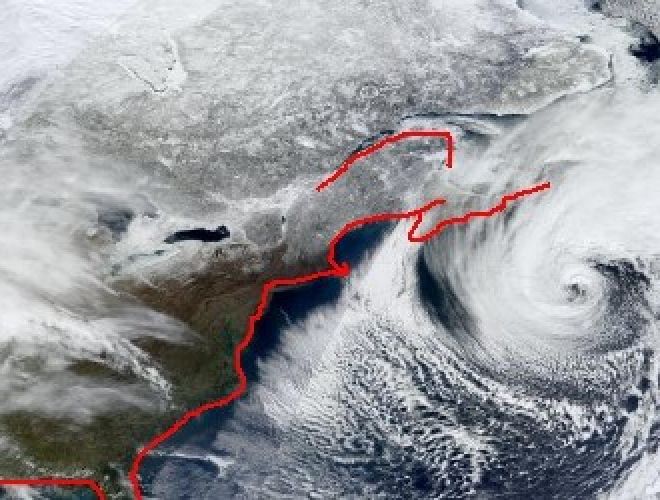
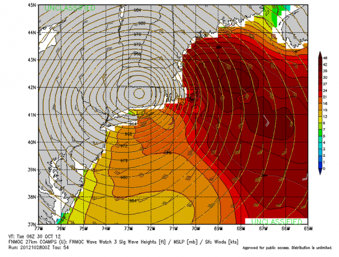
•Super Storm Sandy – A Meteorological Near Miss
•Short Term Erosion Control Measures
•Sustainable Solutions
